SiriusXM Marine Fish Mapping Mobile App
If you enjoy chasing pelagic species and fishing offshore as much as I do, you understand the frustration of trying to find the right locations to target. For the past five years, SiriusXM Marine Fish Mapping has been my go-to source when heading offshore, eliminating the guesswork and providing a clear picture of possible fishing spots before I leave the dock. This technology has simplified the way we gather critical sea condition information, making trip planning more efficient than ever.
Fish Mapping has become an essential part of my routine, offering unmatched insight into where fish are most likely to be. Just like checking fuel levels, tackle, and safety gear before heading out, Fish Mapping is now a standard step in my pre-trip preparation.
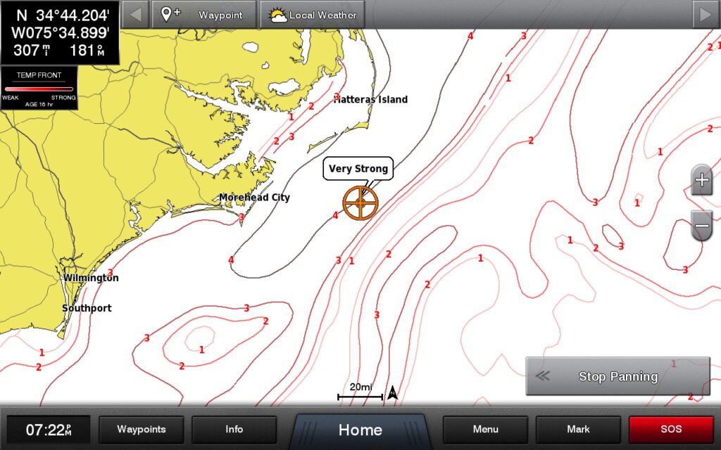
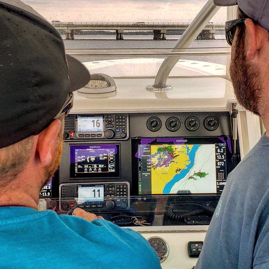
I have always relied on sea surface temperature, plankton concentration, altimetry, and other key data to predict where fish might be. Fish Mapping consolidates all this satellite-driven data into a continuously updated service, delivering it directly to my boat’s multi-function display.
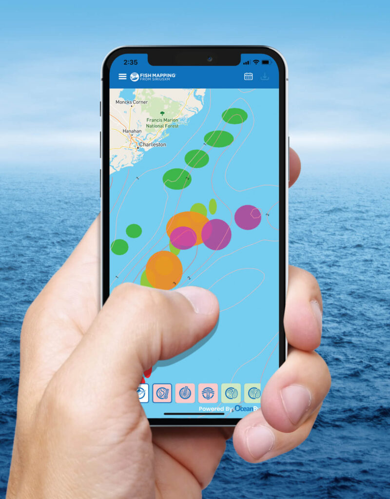
Now, SiriusXM has taken it a step further by developing a mobile app, allowing me to start planning my fishing trip away from the boat. Available exclusively to Fish Mapping subscribers, the app is free to download on Android and Apple devices.
The Fish Mapping App adds another level of preparedness. It includes seven new planning features specific to the mobile app:
High-Resolution Structure Mapping (Bathymetry): View detailed underwater mapping, seamlessly integrating with Fish Mapping overlays.
25’ Contours: View 25-foot depth intervals for pinpointing underwater structures and fishing zones.
Points of Interest (POIs) & Depths: Identify wrecks, reefs, and other fishing hotspots with detailed depth data.
Historical Data: Track fishing features for the past seven days, helping predict where fish-holding conditions are moving.
Ocean Currents: View real-time current direction and speed to locate eddies and convergence zones where baitfish gather.
Measuring Tool: Measure distance and bearing from your location or between two points to estimate time and fuel usage.
Routing: Create and store custom routes with multiple waypoints, then export them to your boat’s MFD via GPX files.
I can now get a comprehensive understanding of offshore conditions and favorable fishing areas for specific pelagic species when combining the Mobile App features with SiriusXM Marine’s Offshore Weather data and these eight dedicated Fish Mapping features: Fishing Recommendations; Sea Surface Temperature Front Strength; Sea Surface Temperature Contours; Plankton Front Strength; Plankton Concentration Contours; Weed Lines; Sea Surface Height Anomaly; and 30m Subsurface Temperatures.
In just five years, Fish Mapping has redefined offshore fishing by delivering the most accurate, up-to-date intelligence over 150 miles offshore. The addition of the Mobile App has enhanced our time on the water, giving us critical, real-time sea condition data to make every trip more successful.
SiriusXM Marine is offering a $300 Reward for receivers purchased by 6/30/25, plus a free, one-month Fish Mapping trial. Additionally, the “Seasonal Suspend” option lets me pause my service for up to six months per year at no extra cost, ensuring I only pay for the months I use.
For $109.99 per month, we also get SiriusXM Marine’s Offshore Weather package, ($64.99/month value) included, providing continuous storm tracking, wind forecasts, lightning alerts, and more.
For more information, visit www.siriusxm.com/fishmapping or call (844) 342-0665 to start your free trial today.


